
By Ramon Arrowsmith - Winter 2016
As the resolution of topographic data continues to heighten, earthquake scientists are able to make increasingly refined surface observations and surface-evolution models. How to use such data was the focus of a recent two-day course at Arizona State University, hosted in part by EarthScope. The course showcased recent research results and provided training on airborne and terrestrial LiDAR, Structure from Motion technology, point cloud and raster-based data processing, and active fault-oriented analysis.
The short course, “Imaging and Analyzing Southern California's Active Faults with High-Resolution Topography,” was a joint effort between OpenTopography, the Southern California Earthquake Center, UNAVCO, and EarthScope. Participants emphasized fault trace and geomorphic mapping, topographic differencing, integration with other geospatial data, and data visualization and analysis approaches.
Within the last decade, several efforts—the B4 project, EarthScope, and numerous NCALM and USGS projects, for example—have been made to collect high-resolution topographic data for active faults. Notably, the EarthScope program has supported the acquisition of several thousand square kilometers of high-resolution topography from lidar along active faults in California, Washington, and Alaska, as well as portions of the Intermountain Seismic Belt. Such data are instrumental for studying deformation processes, and complement the fault-zone drilling, geodetic, and seismological observatories of EarthScope.
Topography datasets are freely available online through OpenTopography, an NSF-funded data distribution portal, and have been used by the active faulting community to generate new and important insights into earthquake processes. For EarthScope data alone, 200 billion points have been processed by 1400 users on the OpenTopography site.
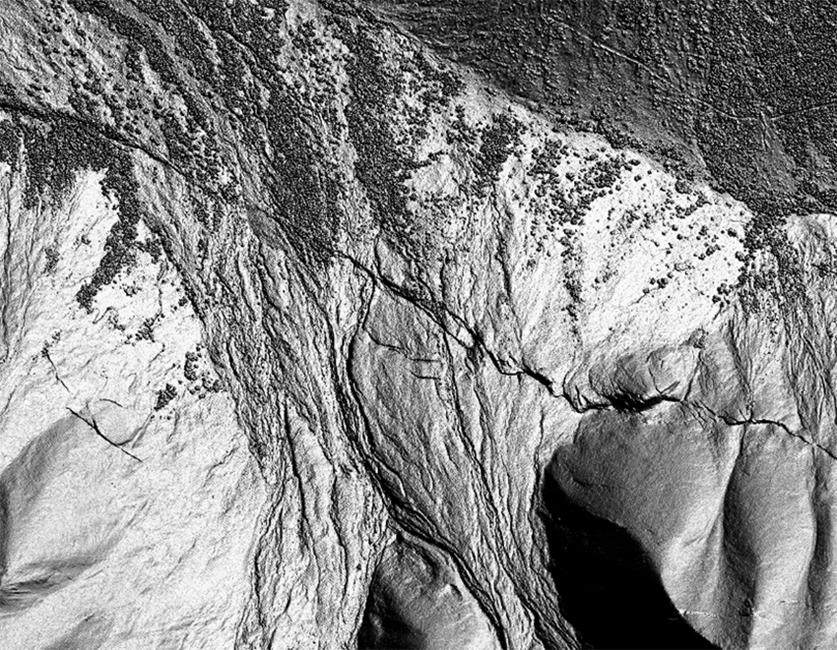
Top Picture: The 2002 Denali earthquake surface rupture crosses alluvial fans, as imaged in EarthScope LiDAR data.
Reference:
Prentice, C. S., Crosby, C. J., Whitehill, C. S., Arrowsmith, J R., Furlong, K. P., Phillips, D. A., GeoEarthScope LiDAR illuminates northern California's active faults, EOS Transactions of the American Geophysical Union, v. 90, no. 7, p. 55, 2009.


