

by UNAVCO - Fall 2014
With the Plate Boundary Observatory (PBO) maturing to a decade old, many of the GPS time series tell compelling stories. Sites in the Pacific Northwest show the signature of subduction including episodic tremor and slip. Sites in California shear along the San Andreas Fault. Sites on Yellowstone and other volcanoes move up and down as magma moves and erupts. And sites throughout the network have captured numerous earthquakes. In an effort to share these stories with the public, UNAVCO hosted training sessions throughout 2014 for park interpreters, K-12 teachers, and university faculty to help them incorporate PBO data into their teaching settings. These workshops use a "train-the-trainer model." According to UNAVCO’s Donna Charlevoix, “When you train educators, they spread the word for you because they reach hundreds of people, if not thousands.”
Workshops took place in Anchorage, Alaska; Bozeman, Montana; Houghton, Michigan; and Aurora and Golden, Colorado. Hundreds of educators experienced hands-on opportunities to explore PBO-focused classroom materials, introducing students to PBO data and scientific summaries of data interpretation.
Providing these trainers with greater skills and knowledge of EarthScope, awareness of available resources, and tie-ins to regional geology empowers them to better engage students and the general public when discussing PBO data and earth science. Awareness of EarthScope, UNAVCO, and PBO is efficiently reaching broader audiences as a result of this training approach.
A collection of PBO-focused education material is available from the UNAVCO website:http://www.unavco.org/education/resources/resources.html
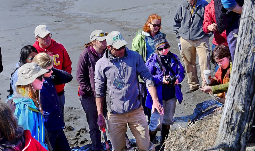
USGS Geologist Rob Witter describes how a ghost forest is formed and sands are deposited during a tsunami. Photo by Shelley Olds, UNAVCO.


