
by Beth Bartel - NSF # EAR 1261833 | Summer 2017
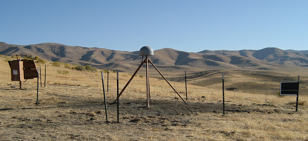
The “Loneliest Road in America,” Highway 50 across Nevada, is getting slightly longer every year. This motion is measured by PBO station P085 and its counterparts, which comprise a transect of more than 60 GPS stations anchored across the Great Basin. This region spans from Idaho down to Mexico and from Utah’s Wasatch Mountains in the east to California’s Sierra Nevada in the west. In between lie 800 km (500 miles) of slowly extending crust. P085, in central Nevada, is moving 2.9 mm per year (0.11 in/yr) away from Salt Lake City. Stations in California are moving westward even faster: PBO station P349, on the southern shore of Lake Shasta, moves west at more than twice that rate (6.6 mm/yr, or 0.26 in/yr). These increasing motions indicate that the whole region is extending, by about 14 mm/yr (0.55 in/yr). The extension is hard to notice year to year, but even millimeters add up!
Assuming it has been constant through time, this means that there would have been up to 13.6 km of expansion over a 17- million-year timespan across the Basin and Range province, creating its characteristic topography of long valleys interspersed with north–south oriented mountain ranges. The mountain ranges continue to rise today, millimeters at a time. This ongoing motion also eventually builds enough accumulated strain to generate earthquakes, such as the magnitude 6.9 Borah Peak earthquake of 1983 in Idaho’s Lost River Range. Researchers use data from P085 and its counterparts to assess earthquake hazard through this region and to better understand the terrain and Earth structure below it.
Learn more about P085 by visiting its station page or on the educational GPS Spotlight site.


