

By Steven Semken - Summer 2012
When we affix meaning to any physical locality—by naming it, building a home there, exploring its geology and geophysics as EarthScope research does—we make it a place. Place-making is in human nature, and people are naturally interested in places, often forming intellectual and emotional ties (the "sense of place") to places that are particularly meaningful to them. The place-based approach to teaching, a central theme of EarthScope Education and Outreach, leverages the senses of place of students and educators by focusing curriculum (subject matter and experiential learning) in local and regional landscapes and communities. Although the specific term "place-based education" has only been in wide use since the late 1990s, place-based teaching philosophy and methods can be traced directly back more than a century to the early practices of civics and experiential education, and subsequently through environmental and outdoor teaching and learning. Given that traditional ways of teaching practiced by indigenous groups such as Native Americans have always been strongly place-based, the provenance of the approach on the North American continent actually dates back many millennia.
Place-based teaching encourages trans-disciplinary thinking, and is intended to foster environmental and cultural sustainability of the places and regions under study. In the context of Earth science education, a place-based approach engages students with Earth features, processes, and history that can be observed in their surroundings; draws connections between geoscience and local resources, hazards, and environmental issues (such as water and air quality); and prepares them for subsequent studies of the Earth system at global scales. Because places are defined culturally as well as physiographically, authentic place-based Earth science teaching draws useful examples and case studies from other locally relevant disciplines such as ecology, anthropology, history, and economics; and integrates humanistic and artistic interpretations of places such as landscape photography and painting, nature writing, and cinema; all to provide richer context and relevance for geoscientific inquiry into places.
Today, place-based education is advocated by educators for its capacity to better engage and retain the interest of introductory science students and other potential majors, especially those who have personal, cultural, or community ties to the places under study. Research has shown that the use of place as an organizing theme for curriculum at different grade levels can measurably enhance students’ content knowledge, sense of place, and community engagement. The U.S. Department of Education has recently adopted a place-based strategy nationwide for measuring and enhancing the effectiveness of its programs: it now focuses on real places, rather than individual funding programs, as its basic units of analysis (see Impact in Place: A Progress Report on the Department of Education’s Place-Based Strategy, June 2012). It is important to reiterate that a place-based approach to Earth science is not intended to supplant the global perspective essential to Earth system science literacy, but is an accessible and relevant introduction to scientific inquiry and systems thinking that can be directly applied in ever-broadening contexts. The July 2011 issue of In the Trenches, the newsmagazine of the National Association of Geoscience Teachers (NAGT.org), offers descriptive articles and specific examples of place-based geoscience curricula that can be adapted to other places.
Although all places and regions of the United States have rich and interesting histories of tectonism, mountainbuilding, volcanism, sedimentary deposition, and erosion encoded in the rocks of their subsurface, many such regions have low relief and limited outcrop that challenge place-based Earth science teaching focused on local crustal structure and evolution. Enter EarthScope!
As USArray, the Plate Boundary Observatory, and affiliated geophysical and geological campaigns migrate eastward from coast to coast (and later to Alaska), these EarthScope programs are revealing unprecedented detail about crustal and mantle structure that can bring local geologic stories to life for teachers and students. In addition to an existing catalog of long-standing examples of exciting connections between local geology and Earth’s deeper interior, such as Cascadia, the Sierra Nevada, and Yellowstone, a multitude of new EarthScope-enabled findings add to that library. Examples include, but are certainly not limited to, new results inferring mantle downwellings beneath the edge of the Colorado Plateau and the Great Basin, removal of lithosphere along the western edge of the North American Craton, broadly distributed deformation along the Rio Grande Rift, and detection of intense microseismicity in Arizona and Oklahoma. Geodetic data provide information on the dynamics of the Earth system across North America in real time, from plate motion to climate.
The next year promises to greatly expand this list, as unique new data are collected from many other areas, including the Mid-Continent Rift and suture zones in the southeastern U.S. Research publications based on EarthScope science can be located by means of a bibliography on the EarthScope Scientific Publications page. This bibliography is being expanded and updated by the EarthScope National Office.
In collaboration with GeoPRISMS, EarthScope has also organized regionally focused scientific planning workshops for Cascadia (Pacific Northwest) and Eastern North America. The reports issued from these workshops (www.geoprisms.org/past-meetings) show how EarthScope research will be focused regionally and locally to uncover continental structure and dynamics.
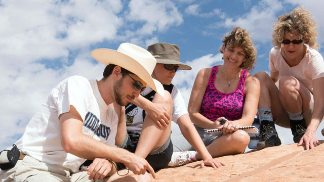
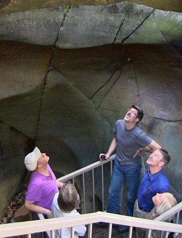
EarthScope researchers and educators are also offering regional and local programs in education and outreach designed to share locally relevant geoscientific findings with formal educators (K-12 and college teachers) and informal educators (park and museum educators and interpreters), who are in turn using EarthScope science to enhance their own place-based activities. Some examples of these programs are Teachers on the Leading Edge or TOTLE (orgs.up.edu/totle), Illinois EarthScope (www.isgs.illinois.edu/education/EarthS.shtml), and the Earth Science Interpretive Workshop series presented semi-annually by the EarthScope National Office. EarthScope staff are also in attendance at the annual meetings of the National Science Teachers Association, Geological Society of America, and American Geophysical Union where we meet with educators and scientists and share information about EarthScope and place-based education.
EarthScope researchers, while encompassing the broader impacts of their research, are encouraged to consider how their scientific findings, interpretations, and products (such as diagrams and maps) can be disseminated in a way that fosters the place-based teaching of Earth science situated in the regions and places they are studying. The EarthScope National Office (uaf-earthscope@alaska.edu) stands ready to assist in this effort at any time.
Earth science educators, formal and informal, are encouraged to follow EarthScope through its website (www.earthscope.org), Facebook page (www.facebook.com/EarthScope), Twitter feed (@EarthScopeInfo), Google Plus page (EarthScope Information) and YouTube channel (www.youtube.com/user/EarthScopeInfo), to learn about findings and useful teaching resources as they emerge.
Note: Semken is the former ESNO Deputy Director for Education and Outreach (Arizona State ESNO)


