By Beth Bartel - Summer 2016
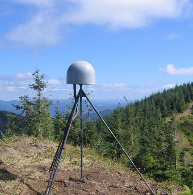
Located near the crest of the Oregon Coast Ranges, GPS station P405 sits on the edge of the Cascadia margin where the North American plate meets the subducting Juan de Fuca plate. P405 is subject to severe weather—its solar panels were destroyed twice by winds in excess of 120mph. Why fight the elements? This station is recording close to the maximum deformation caused by the converging plates, as well as the “silent earthquakes” produced by slow-slip events approximately every 14 months. It is part of the Cascadia real-time network, transmitting data continuously at one sample per second, which is crucial for many applications including local surveys and a prototype earthquake early warning system. In the event of a large Cascadia earthquake, it can keep data flowing via a recent backup satellite communications system upgrade. Learn more about P405 on UNAVCO’s P405 station page or University of Colorado's educational GPS Spotlight Website.