
by Donna Charlevoix
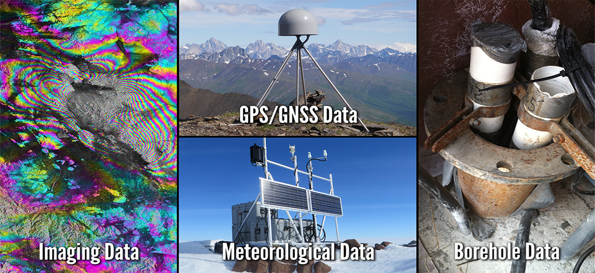
UNAVCO archives and provides access to a variety of high-precision geodetic datasets reaching back more than 30 years and spanning all seven continents. Data types include GPS/GNSS raw data, time series, and velocity vectors, as well as imaging data such as synthetic aperture radar (SAR) and terrestrial laser scanning (TLS) data, borehole strain and seismic data, meteorological data, and tropospheric models.
UNAVCO announces a new Data Tools video series. Users are guided through accessing each geodetic data type available through UNAVCO's Geodetic Data Services. The videos provide a broad overview of data available via our archives and show new users specifically how to access each distinct data type. The video series is available on the UNAVCO YouTube channel as well as on the Data page of the UNAVCO website.
YouTube playlist:
https://www.youtube.com/
Data webpage:
http://www.unavco.org/data/


