
Conveners: Jay Pulliam, Harold Gurrola, Randy Keller, Kevin Mickus
Location: Baylor University, Waco, TX
Date of Workshop: February 5-7, 2017
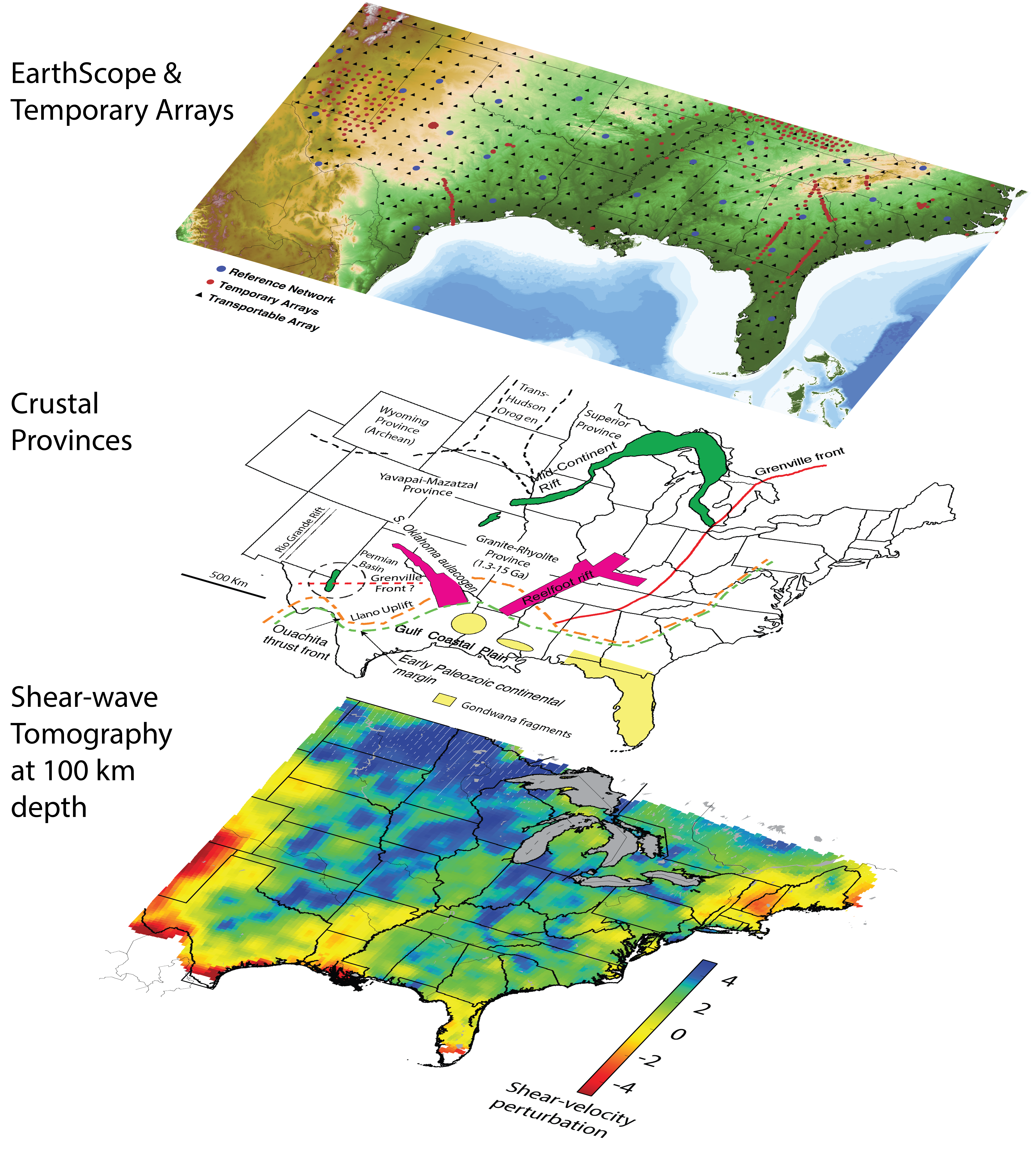
The southern margin of North America is one of the least-intensively investigated portions of the continent, so a great deal of first-order geologic information remains uncertain. Unresolved issues include: 1) To what extent are accreted terranes continental or island arc in nature? 2) Where is the transition from continental to oceanic crust located? 3) Where is the Grenville/Llano front? 4) What is the geometry of rifting vs. transform accretion and continental break up? Despite the region’s complexity, the severity of orogenies and the geographic separation between sites impacted by these events make the region a good place to study how events separated in geologic time and space influence the development, stabilization, and reactivation (or erosion) of continental lithosphere.
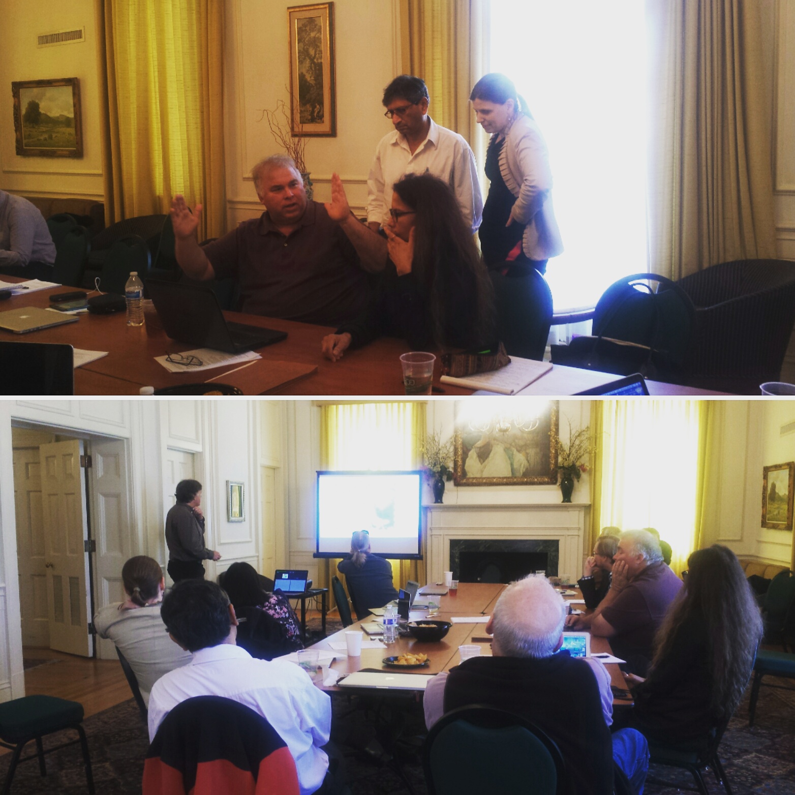
This workshop, entitled “Southern Exposure: An EarthScope Synthesis Workshop to develop a better understanding of the structural and tectonic evolution of the southern margin of North America,” will provide a forum to review available data, synthesize existing work, identify needs for new data acquisition, and foster new collaborations to improve our knowledge of the region’s tectonics.
Everyone who attends the workshop will be asked to contribute text and data products for which they are responsible to an archive that will be created for this purpose. Data products include the results of any type of analysis—seismic, gravity, geodetic, geochemical, geochronological, etc.—that bears on issues of geological or tectonic history, processes, or current structure. Contributions could also include presentations, Powerpoint files, or videos of seminars that present interpretations of fundamental data products, as well as notes and commentary.
We will establish an on-line forum for ideas and comments that will provide a permanent record of discussions and help ensure that momentum is maintained toward goals outline at the workshop. A final report will summarize the workshop’s activities but will also evaluate the effectiveness of the strategy proposed here, including the utility of the online forum and data products archive. All attendees should be prepared to contribute to all of these efforts.
100 km deep into the crust
Synthesising and Visualizing for a broader public
Data Sources:
Pollitz, F. F., and W. D. Mooney (2016), Seismic velocity structure of the crust and shallow mantle of the Central and Eastern United States by seismic surface wave imaging, Geophys. Res. Lett., 43, 118–126, doi:10.1002/2015GL066637.
Soreghan, G.S., Keller, G.R., Gilbert, M.C., Chase, C.G., and Sweet, D.E., 2012, Load-induced subsidence of the Ancestral Rocky Mountains recorded by preservation of Permian landscapes: Geosphere, v. 8, p. 654-668.


